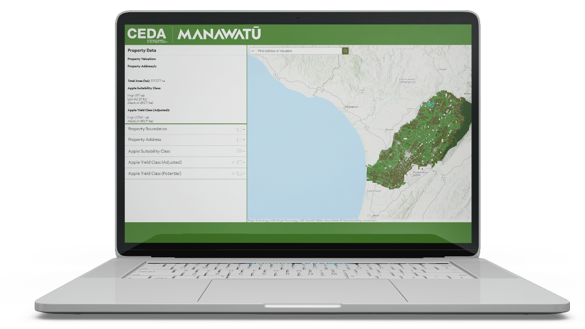
We are excited to share with you two strategic tools developed as a result of the Manawatū Regional Food Strategy. This Land Diversification initiative features a comprehensive report and an interactive Crop Suitability Map that utilises GIS (geographic information system) technology.
These tools are designed to provide valuable information to help farmers and landowners across the region unlock new opportunities to diversify and maximise the potential of their land.

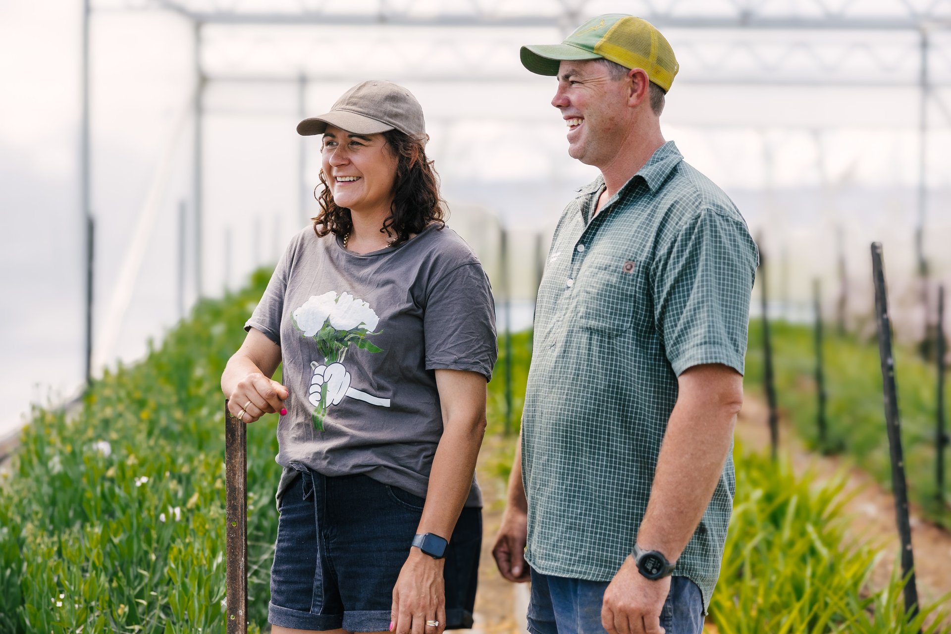
Local farmers like Gemma McDougall from Ataahua Blooms have already seen the benefits of diversifying their land. As Gemma says, “Diversifying our land has opened up new income streams and job opportunities, proving that it’s a financially smart move. Manawatū’s stunning soils and climate make it an ideal location for land diversification.”

How can you get involved?
As a key member in our region, we encourage you to share this information with your networks and promote these tools to farmers and landowners. Whether it’s exploring new revenue opportunities or enhancing sustainability practices, these resources provide practical pathways for our farming community to future-proof their operations.